 Loading... Please wait...
Currency Displayed in
- Home
- East Germany/DDR
- NVA military maps
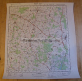
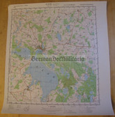
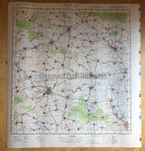
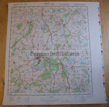
- wd041 - original East German NVA Army tactical map - c1989 GUESTROW
Categories
wd041 - original East German NVA Army tactical map - c1989 GUESTROW
Product Description
This is an original East German military NVA issued map. These are the types of maps that we would have carried folded up in our map cases. The bottom margin of the map states that it was compiled the MdI (Ministry of Interior) but that it was issued by the Army (Ministry of Defence). The top right states Vertrauliche Verschlusssache, which means Secret. These maps were only for use by the military and were not allowed to be privately owned. All old maps had to be destroyed and accounted for when new maps were issued.
Scale of the map is 1:100,000 and the area that is covered by the map is at the end of the item title here. I do have a number of these types of maps available at the moment. The vast majority are in very good condition, but some have light damage in the margins. Please do check the sample pics for the condition of this map. Price reflects the condition and also the contents of the map. I do have a small number of maps that show border areas with West Germany, including border control posts.
The map measures 17 1/4" x 16 1/8" and would also look great framed and displayed on your wall.
Postage costs will be the same, no matter how many maps you buy and a refund will be issued for any postage overpayment generated by the website when you place your order in case of multiple maps being bought. The map will be posted rolled up in a secure cardboard mailer.
Airmail to outside of Europe: US$12
Surface Mail to outside of Europe and Airmail within Europe: US$8.50
First Class UK: £3.40


